
ADSWAC conducts surveys of agricultural plots and water points in Calai and Dirico
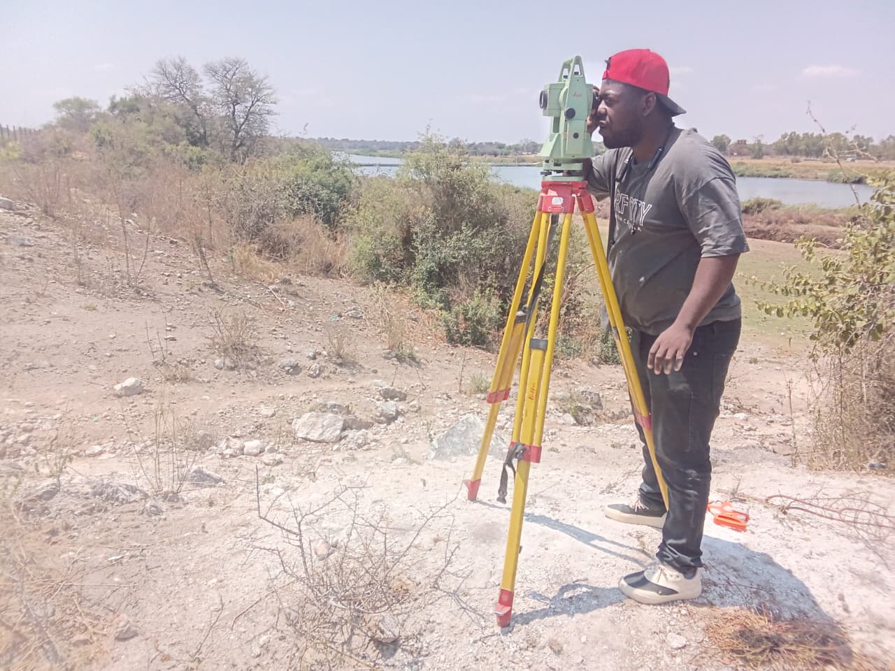
The ADSWAC Project carried out fieldwork to survey the coordinates of model plots, collect topographical data, and identify locations for the future installation of water systems in the municipalities of Calai and Dirico.
In Dirico, the activity involved two technicians, one from GABHIC (Office for the Administration of the Cunene, Cubango and Cuvelai River Basins) and the other from IGCA (Geographic and Cadastral Institute of Angola). Before beginning the fieldwork, the team paid a courtesy visit to the Municipal Administrator of Dirico, Ruth Alfredo Tenente, to present the work schedule planned for the following three to four days.
During the fieldwork, the technicians collected GPS coordinates for 18 locations identified for the future installation of water systems under the project. The aim was to gather accurate location data to support the planning of future interventions.
The team also surveyed five agricultural fields belonging to the Producer Organisations (POs) of Shamutue, Mbambi, Tchova, Cangongo and Ditemuangue. Members of the producer organisations participated in the activity and accompanied the technicians during the collection of plot coordinates.
In Calai, technicians from GABHIC and IGCA conducted surveys at the Lupololo Producer Organisation and the Regional Centre, collecting information on agricultural areas and terrain characteristics.